Site Progression
Provide an initial view on whether the available desktop evidence supports continued consideration of the site.
Professional desktop assessment for solar, BESS, co-location and community energy projects.
First Feasibility brings planning, environmental, land, access, infrastructure and physical site context together so early development decisions can be made with clearer evidence and stated limitations.
Planning judgement supported by mapped evidence and clear scope before instruction
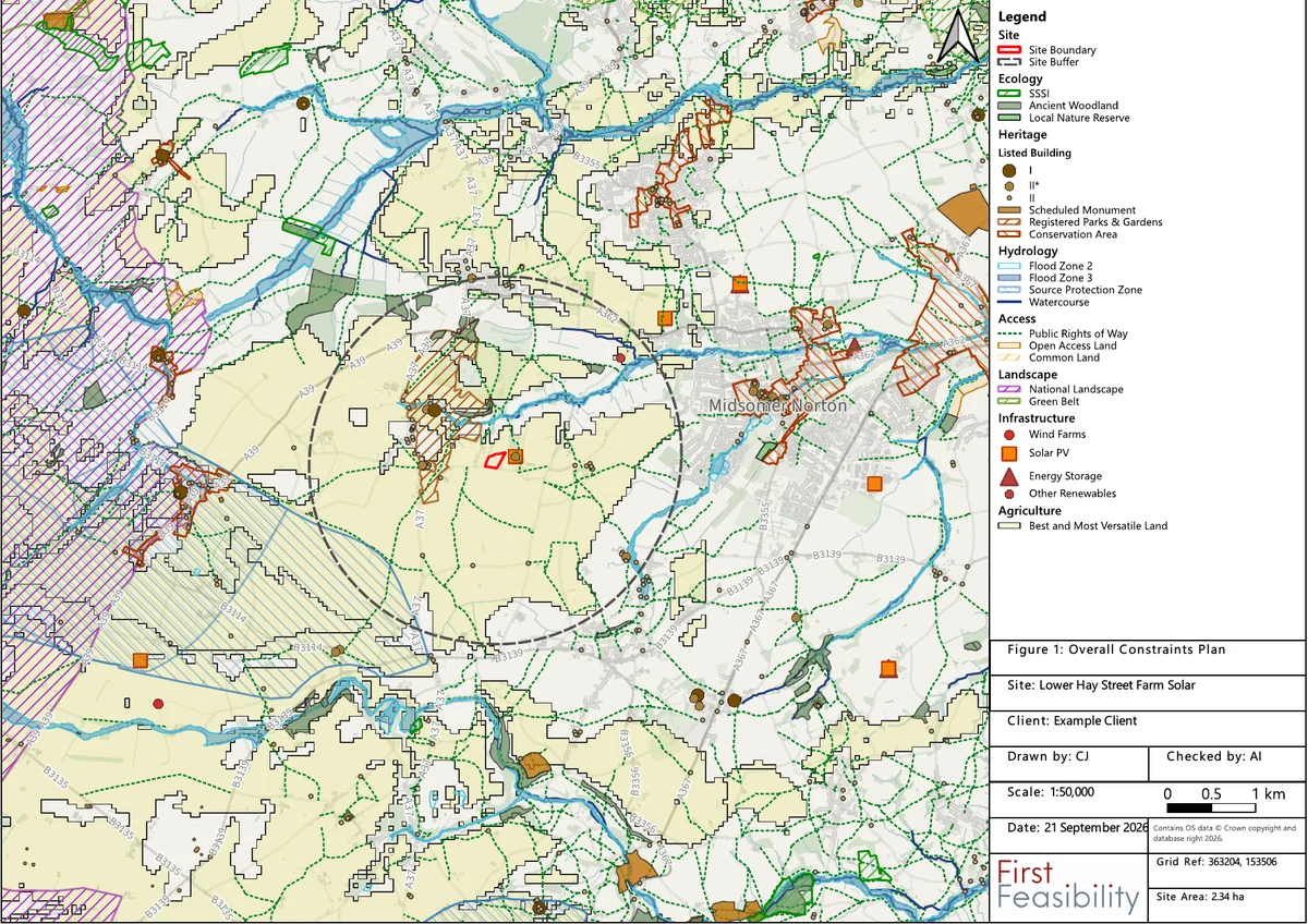
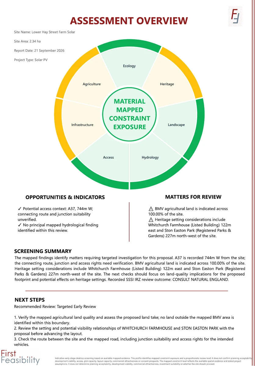 Assessment Overview from an example Site Assessment Pack
A site can appear promising initially while still having issues that affect its development potential or the work needed to take it forward.
First Feasibility reviews available desktop evidence alongside the individual site and project context. The aim is to establish what appears important at an early stage, what may require further investigation and whether there is a reasonable basis for progressing the opportunity.
Provide an initial view on whether the available desktop evidence supports continued consideration of the site.
Bring the principal planning, environmental, physical, access and infrastructure matters into one review.
Identify the matters that appear to justify closer review before further money is committed.
First Feasibility provides single-site assessment, portfolio screening and standalone mapped site context. The appropriate scope depends on the site, project and stage of review.
A professional desktop review of the principal site constraints, opportunities and matters requiring further investigation.
A consistent comparison of multiple opportunities to help focus further review and development budget across a portfolio.
A standalone Google Earth map bringing selected environmental, planning, land, access and infrastructure context into one explorable file.
The example pack is the clearest way to understand the service. It shows the Assessment Overview, written Constraints & Context Review, supporting figures and mapped site context schedule in one document.
Selected pages from the full 30-page pack, including 12 assessment figures.
Provide a site boundary or location, proposed project type and any particular questions you want the assessment to consider.
Relevant spatial datasets are reviewed alongside the site, project type and available desktop context.
The findings are checked and interpreted before the client output is prepared.
The agreed written and mapped outputs are issued electronically, with scope and limitations stated clearly.
First Feasibility supports renewable developers and project originators, community energy groups, landowners and estates, land agents and rural advisers, planning and development consultants, and teams reviewing several potential sites.
About First FeasibilityFirst Feasibility combines planning and GIS experience with a bespoke spatial assessment system developed for early feasibility work.
The system helps bring relevant mapped evidence together quickly and consistently. The final client output is reviewed in the context of the individual site and proposed development.
First Feasibility supports early development decisions. It does not replace detailed planning appraisal, technical surveys, specialist advice or statutory consultation where these are required.
Send a site boundary, location or short project brief. We will confirm the appropriate scope, required information, fee and expected turnaround before instruction.
Please email site boundaries, plans or other attachments to hello@firstfeasibility.co.uk. See our Privacy Policy for how enquiry information is used.